


I love maps, the real fold out ones, and have for as long as I remember. When my parents would take us on holiday it was always on a road trip out here in the west, usually pulling a camper. For the weeks leading up to the actual departure date, I would study the old Rand McNally fold out maps or a bound atlas of all places we were going.
There was no Google or Siri back then to give me every detail of the route so I had to find the starting and ending point on the map then fill in the blanks myself. I’d carefully follow the lines from point to point, noting every town, every named forest or park and commit every highway number and every turn to memory. Once we’d leave, I would l follow along the map as we drove letting my mind sync what I was physically seeing with the corresponding place on the map.
Of course every new town we’d come to was an adventure. Without Google, Yelp or Siri, we’d roll into some random small town and have no idea what the most recommended place to have lunch was, where the best coffee was or where to find the cheapest gas. Basically, we’d just drive around until we’d find a service station, then drive around some more until we found a café that looked “open”. If there was some sort of establishment promising a three headed snake farm or the world’s largest foil ball, well, then all the better. As a bonus, those mom-and-pop cafes always had free “local” maps in those cluttered information stands near the entrance so I would happily leave with a library of new materials to pour over as we continued our travels.
I was never really all that big on buying a bunch of crappy souvenirs but instead chose to anchor my memories to points on the map. Okay, maybe there would be the ocassional leather chaps from Mexico or “must have” bag of polished rocks from a truck stop in Arizona, but those were one-of-a-kind treasures not to be passed up. When we’d get back home, I’d retrace our entire route on a map, and along with the associated brochures I’d picked up, could vividly reconstruct the details of every town, café, National Park, historical marker and point of interest (like the three headed snake farm!). I could spend days dissecting each section of the trip and put it all back together like a jigsaw puzzle. I would take all those experiences, lay them across a map and have a visual story I could commit to memory, ones that in most cases have lasted a lifetime.
I’m not saying that I don’t use a GPS from time to time when I’m in skiing the backcountry or out mountain biking, because I do. I have a pretty fancy Garmin watch that tracks my route, measures calories burned, keeps me abreast of the barometric pressure changes, tracks my elevation gained, etc., and yes, I love studying the output and data when I get home. But even for the places I’ve been hundreds of times, I still love looking at a physical map before I go. If I’m going somewhere new, I’ll always take a physical map and compass with me just in case the electronics fail, and they will if you use them enough. I figure it’s like sailing across the ocean, you may have all the state-of-the-art electronic navigation systems available, but if they fail hundreds or thousands of miles from land, you damn sure better know how to use a sextant and a map or the results may be quite unsavoury.
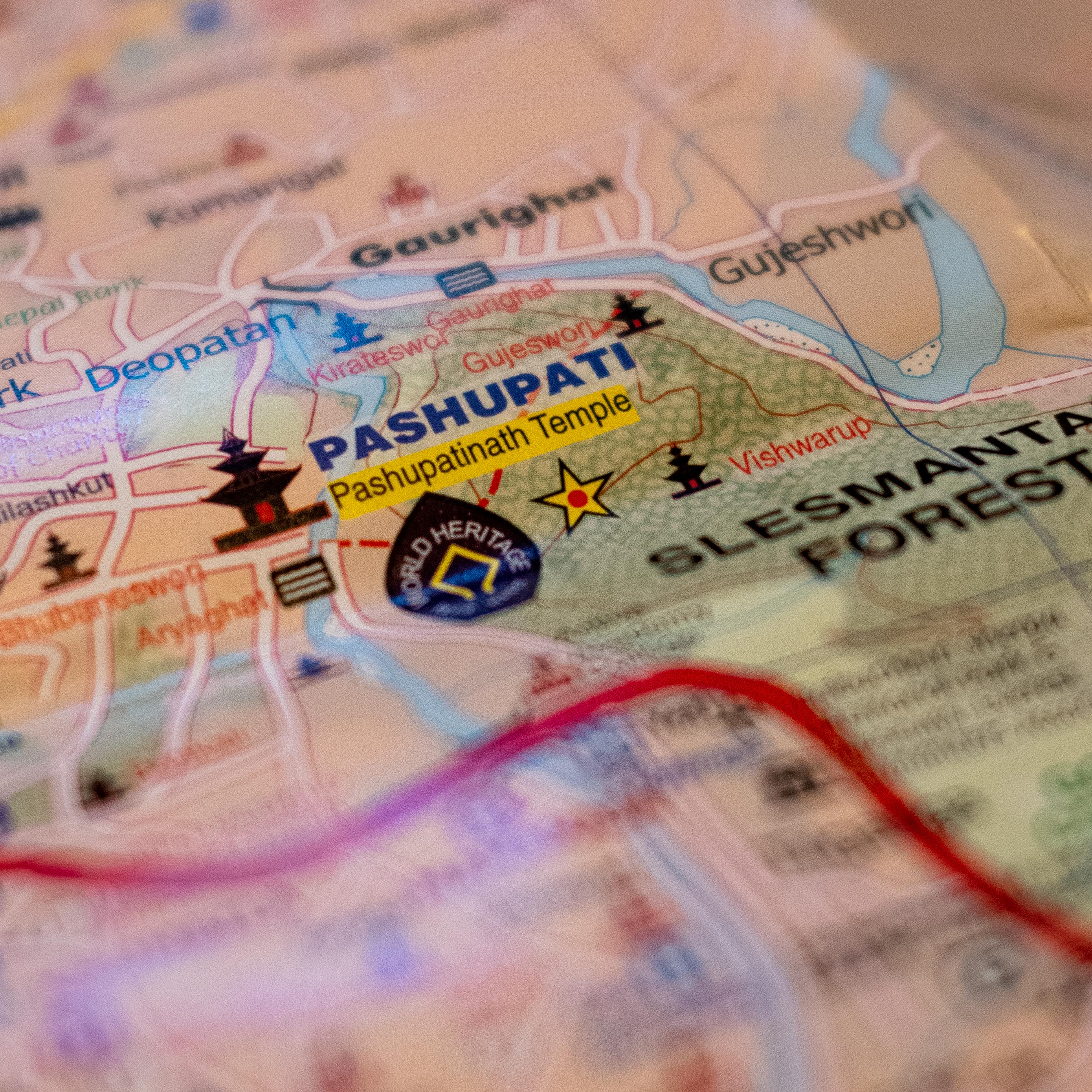
Today, decades since those family road trips with my parents, nothing has changed — I still love maps. Wherever we go, domestic or abroad, I still love buying a genuine hold-in-your-hand, fold out map and will spend hours and hours studying it before we leave. And yes, I still pick up those free maps and brochures in the information stands at service stations and cafes.
I love the tactile feel of a map, even the sound of the paper when I’m unfolding it (and trying to re-fold it). But more importantly, there is something that makes me feel connected to a place if I can actually see a paper map of it, use my finger to trace the places I might want to go, become familiar with the town names or see the graphic contours of the landscape and how trails intersect with them. Once I finally get there, all the experiences will begin to fill in the blanks on the map…the languages, the people, actually seeing the landscape, seeing the landmarks, eating the local food and all the other experiences hiding in the fabric of a physical map. To me, a map is nothing more than a story waiting to be told or another adventure to be had.
Climb high, ski fast, pedal hard, live simply.
